Badwater in Death Valley
"How about a nice, refreshing trip to Badwater?"
My son looked at me like I was crazy (which can happen daily, maybe even a few times daily).
"No, really, maybe we'll find water."
And we did!
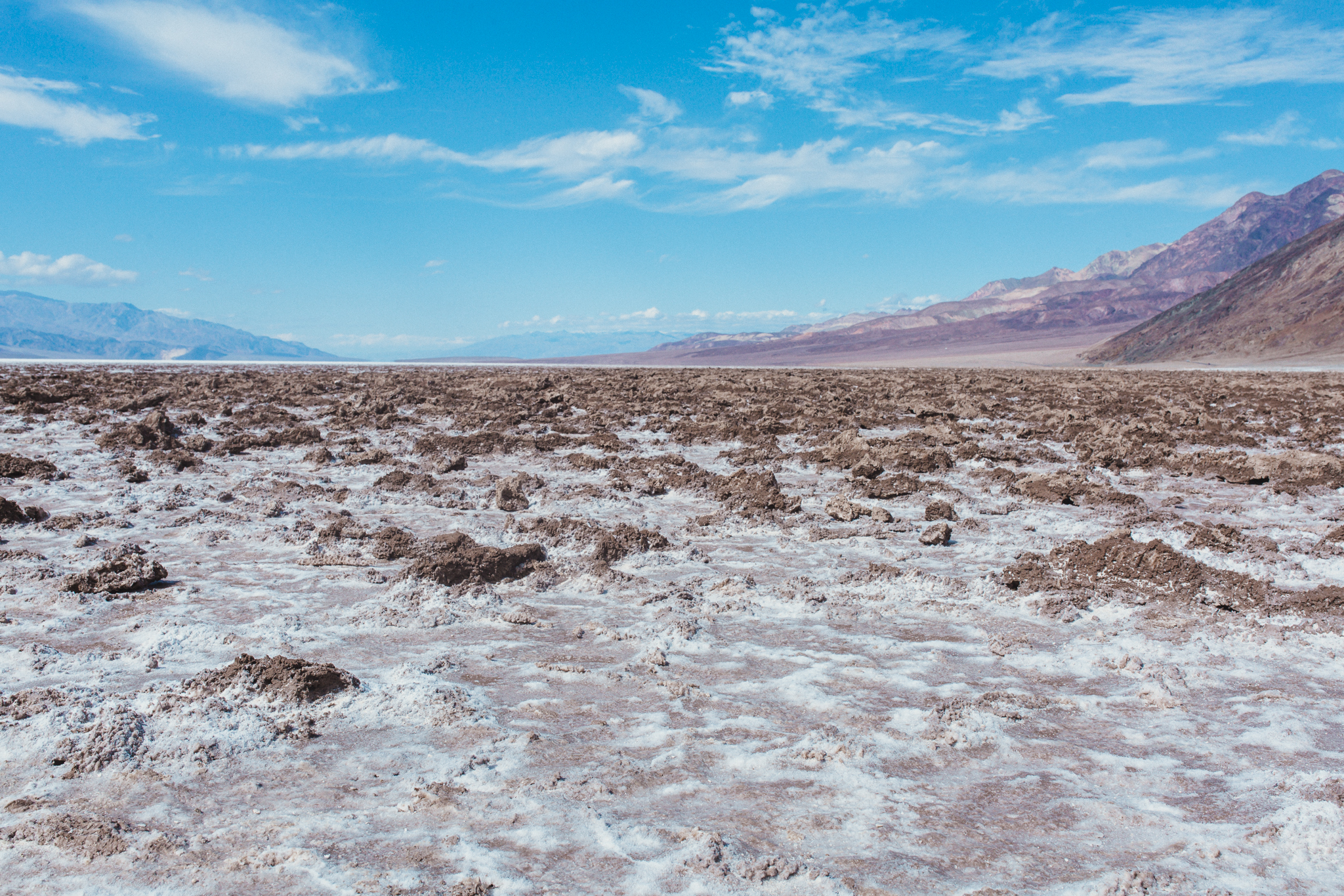
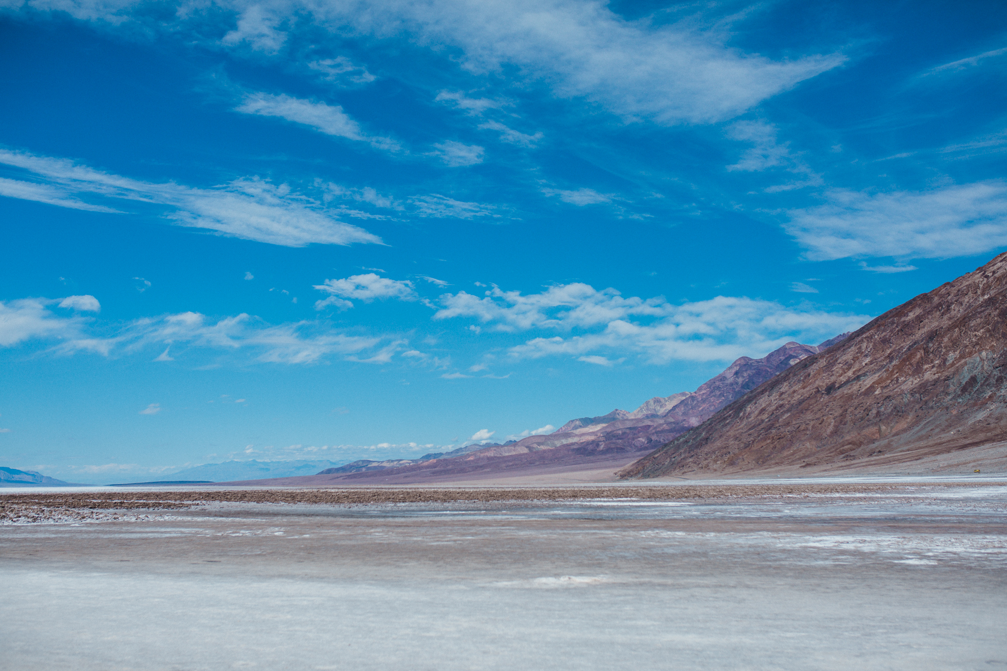
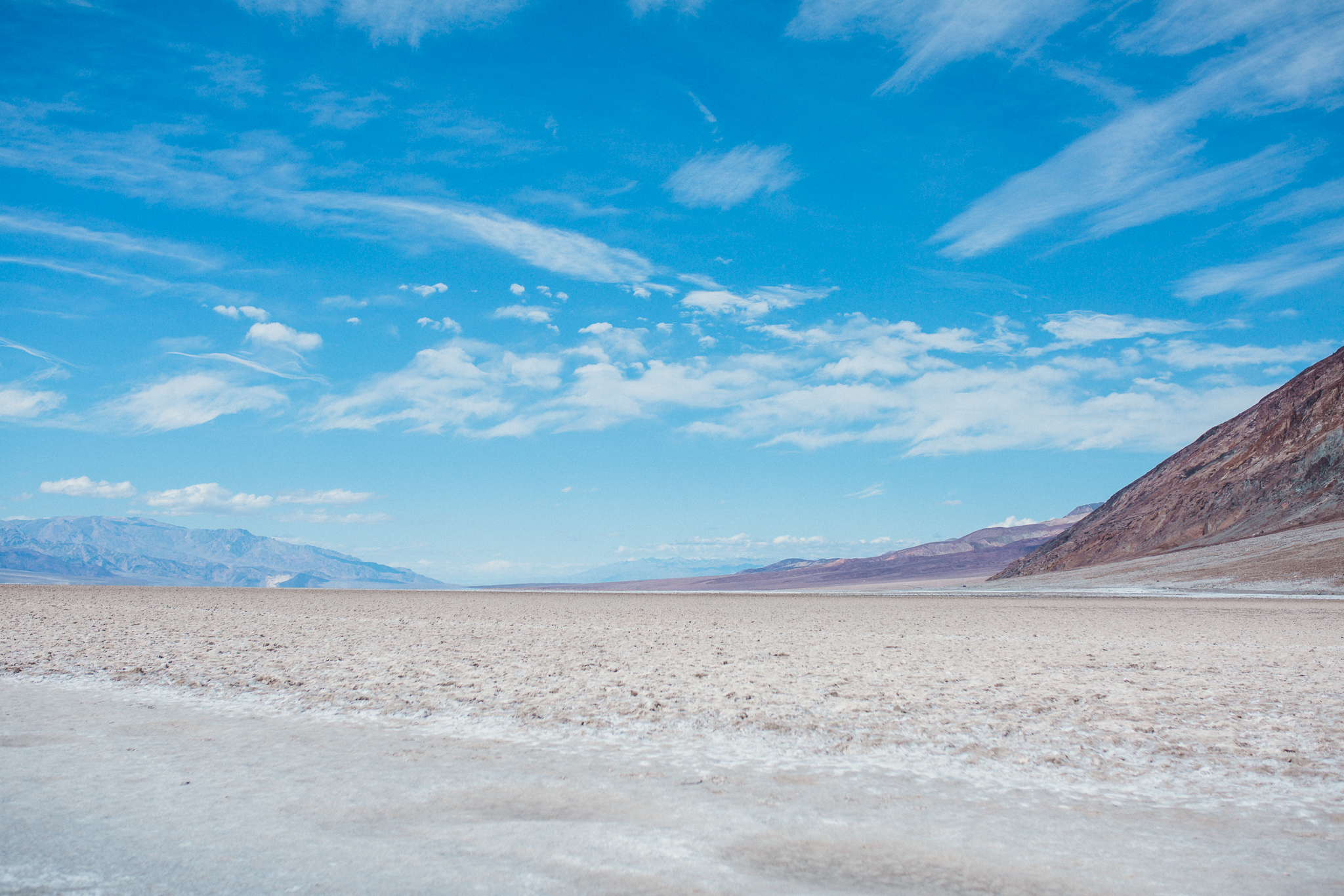
The water looked nestled into fields of snow, which was actually salt caked over dried mud. The area was well marked with a nice smaller parking area. We arrived and found ourselves at the lowest place in the Northern Hemisphere.
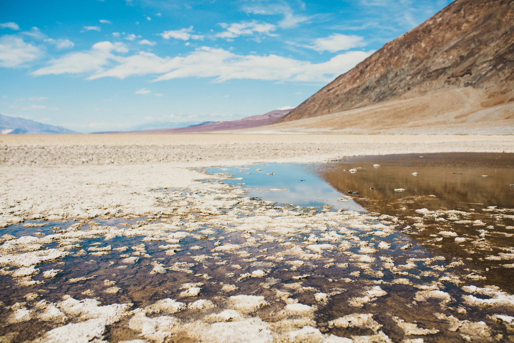
Ian read about how weary travelers would lumber over the hills and see this water with relief. They led their poor animals to water, only for the animals to turn up their noses. Bad water. The reason? So much salt.
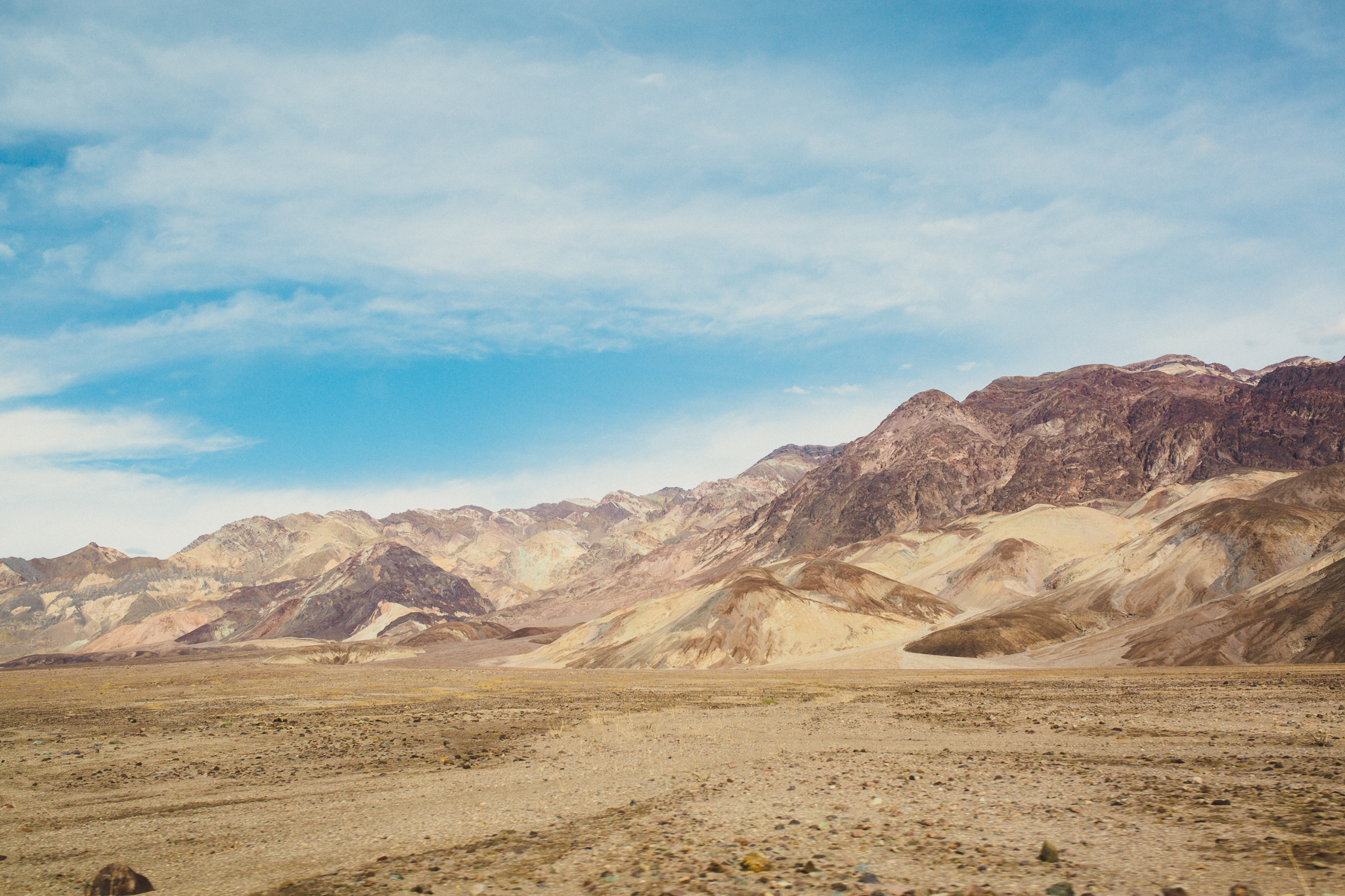
The entire valley in Death Valley is a long evaporated lake. All the minerals in the water were left when when the water disappeared. Since Badwater is the lowest point in the Northern Hemisphere, of course the salt concentrated here.
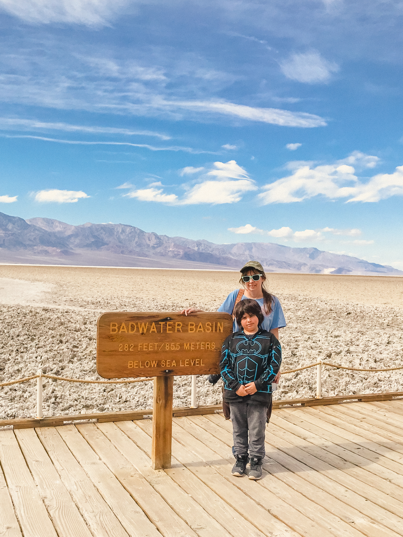
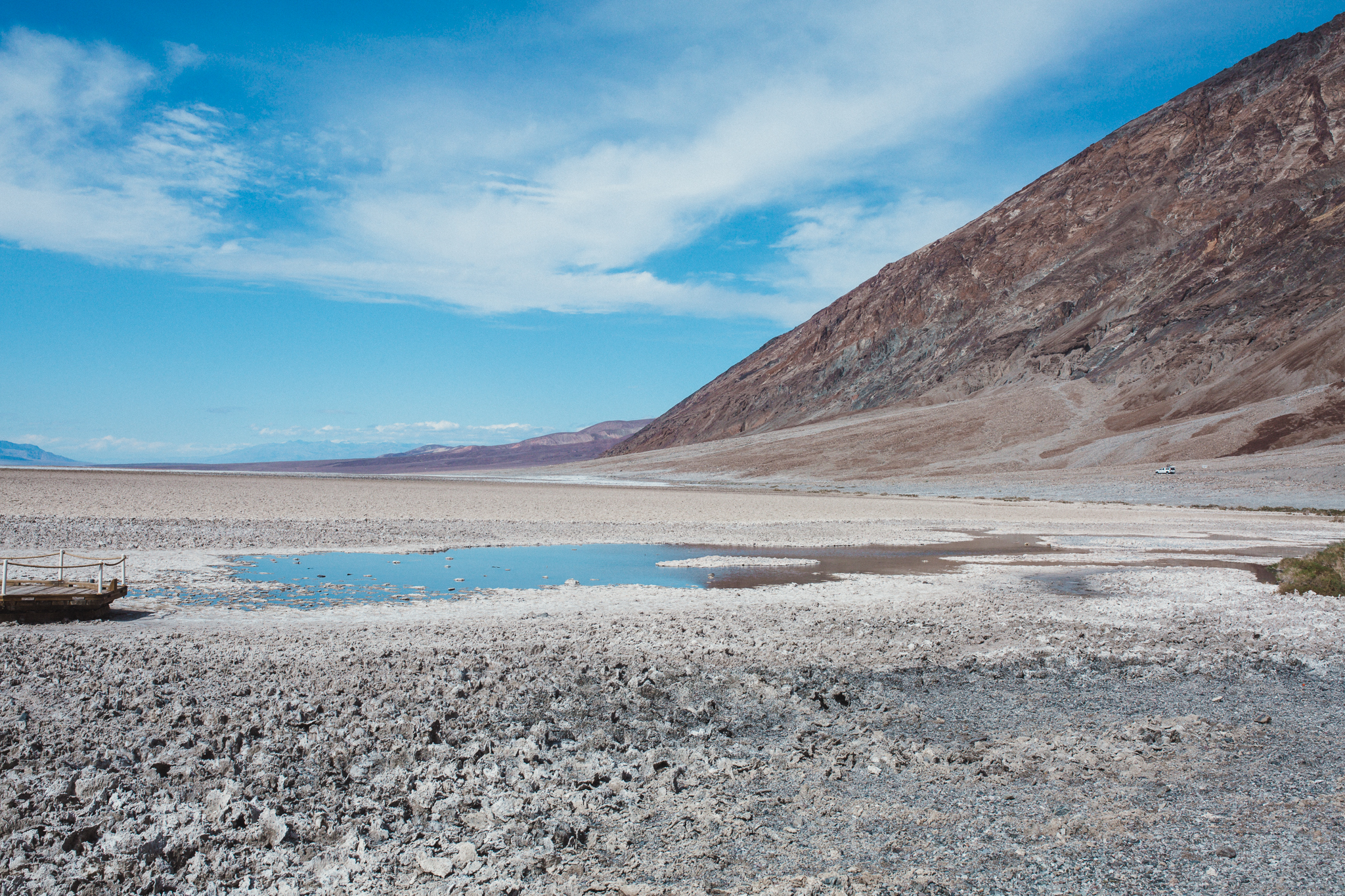
We had to stand with the sign. We imagined how deep the water would be in this spot. "We are so far under the sea," Ian said. We stood 282 ft below sea level, to be exact. Anika, who visited later with her class, asked if we had turned to see the sign high on the mountains by the parking lot to mark sea level. We didn't know about it so we didn't look for it. Next time!
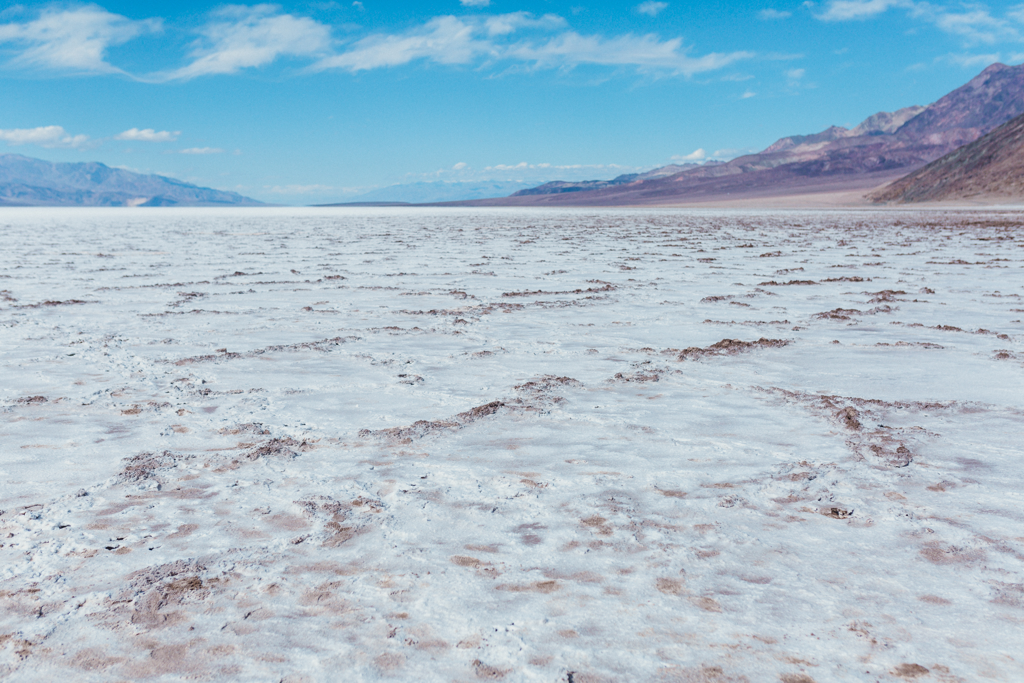
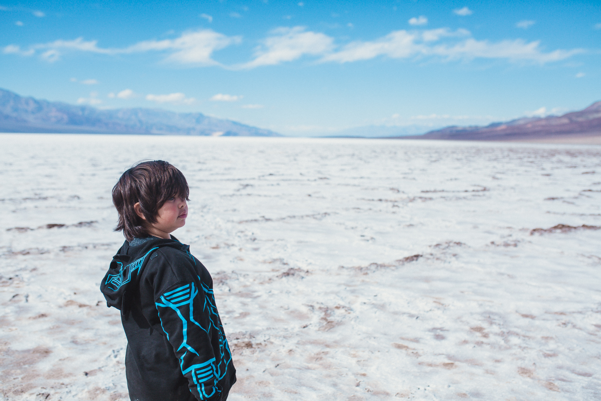
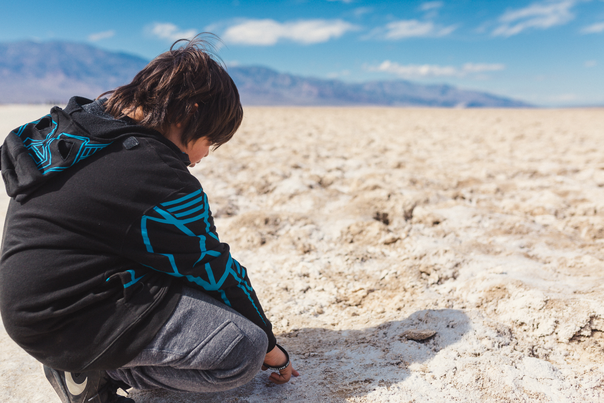
"Looks like snow," Ian said as we wandered onto the salt flats.

The boardwalk eased onto a beaten down path where footsteps of many visitors had crushed the intricate crystalline structures of salt. The exploration zone was fine, though, because the flats cover miles and miles.

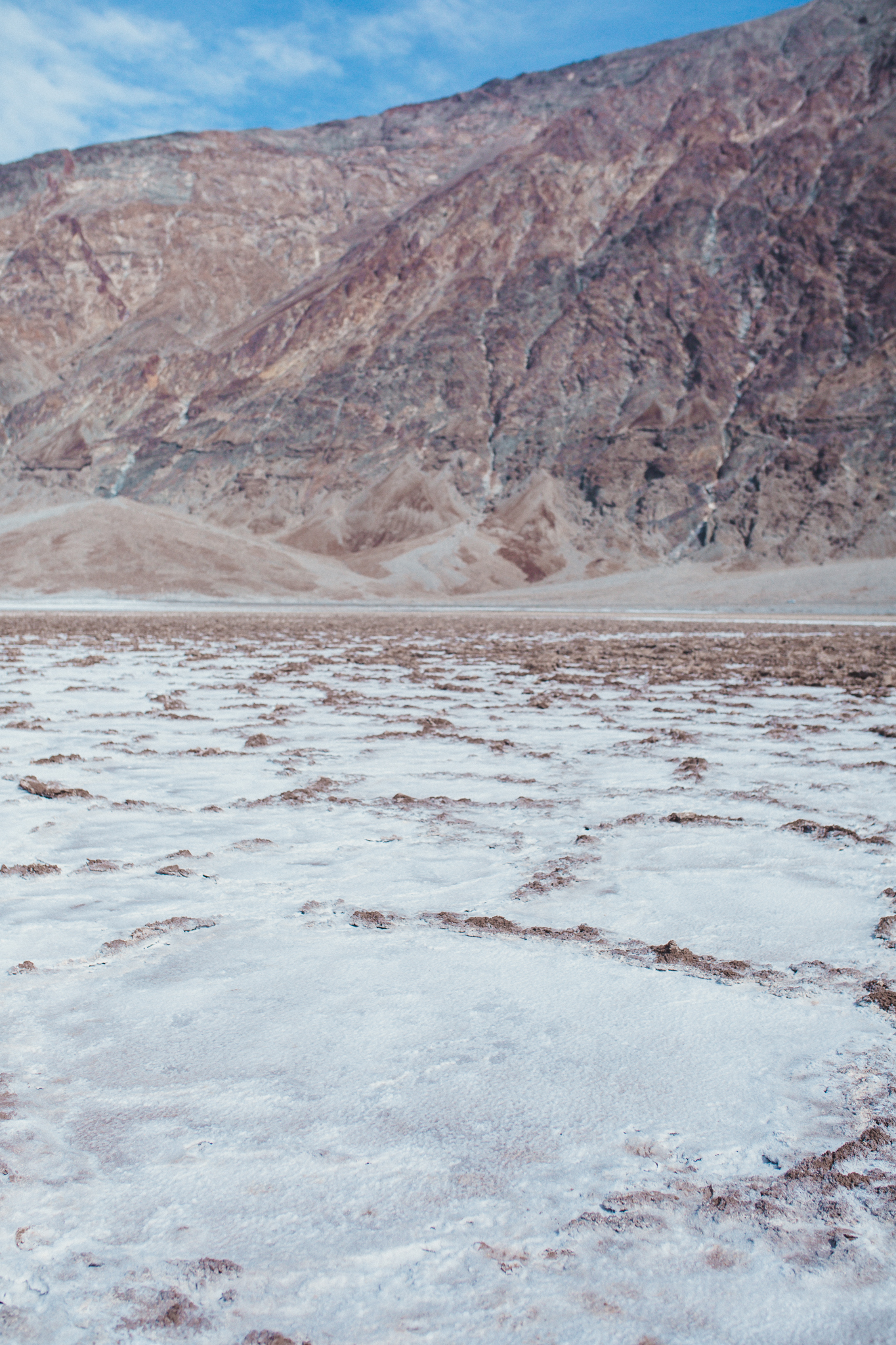
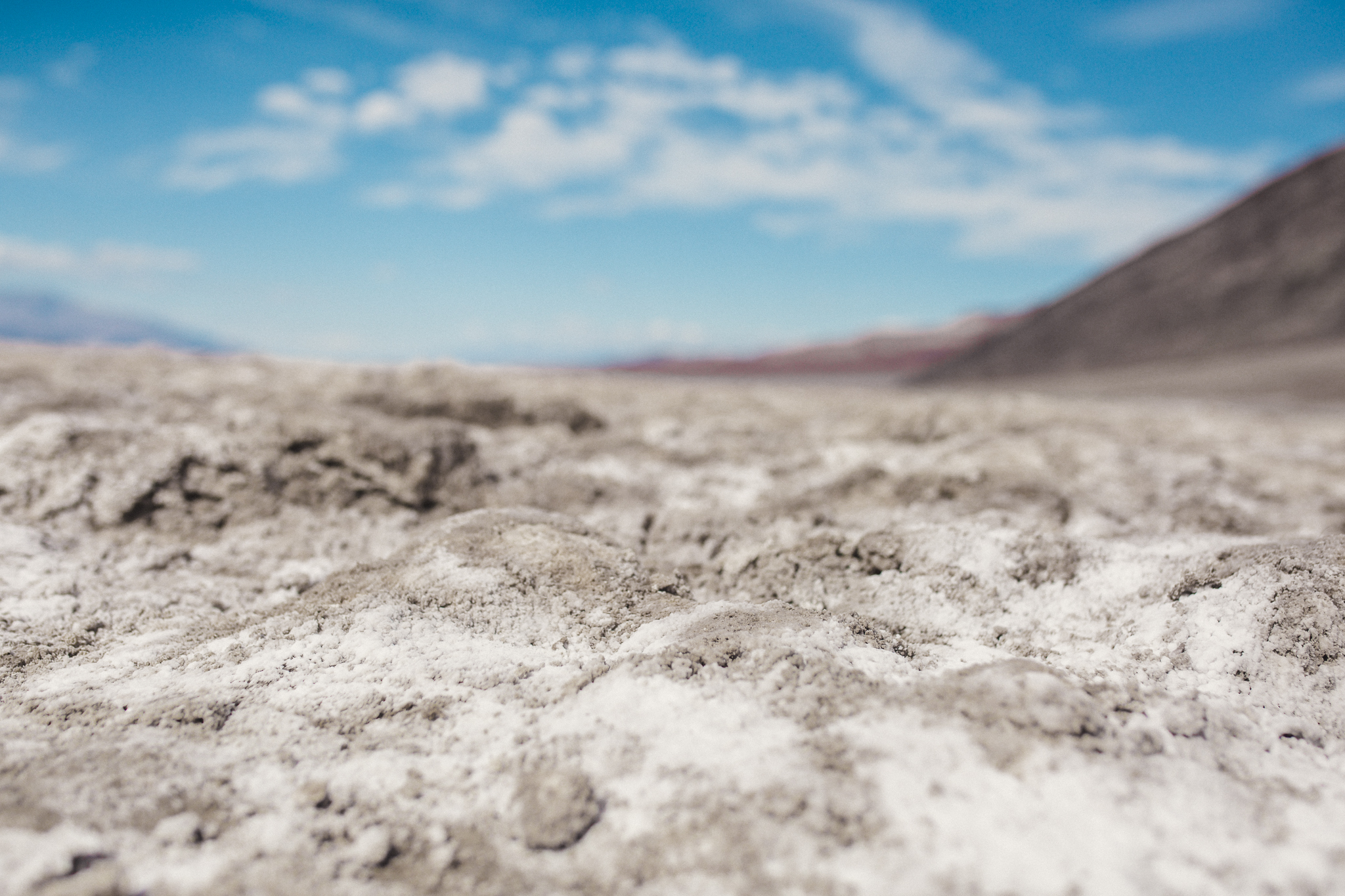
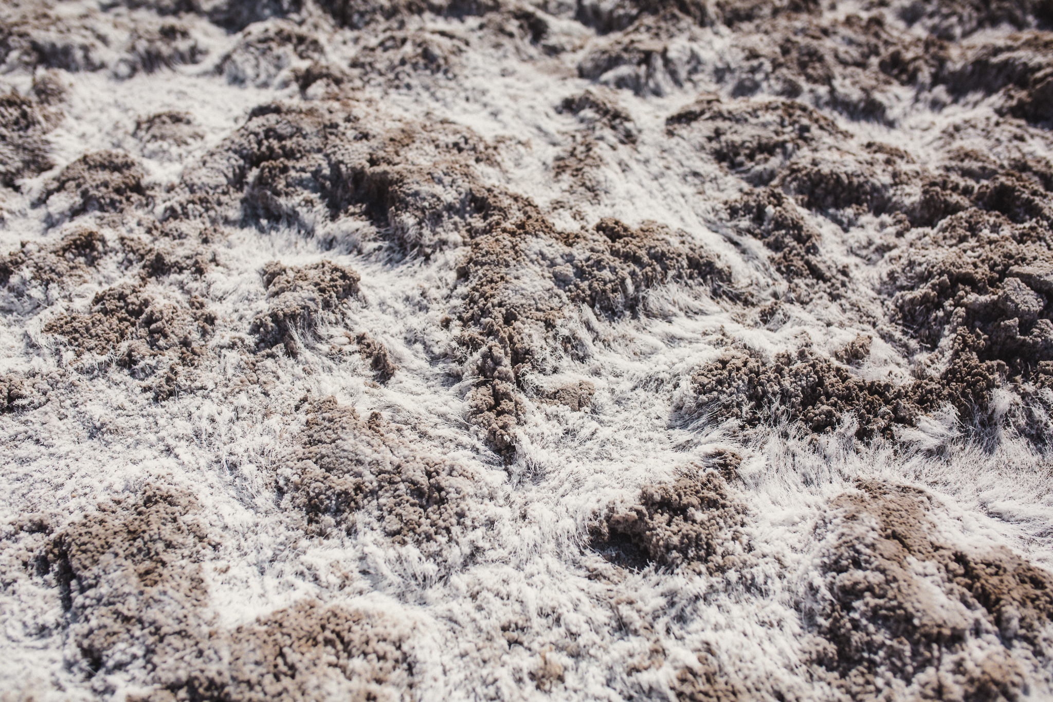
We could easily explore how the salt became intricate crystals. Recent rains meant that the ground was actually damp in many places. Even with a puddle or two. We did have to stop and get down low to study the salt. To our surprise, it wasn't like someone had sprinkled the ground with generous handfuls of table salt. No, these were threaded strands which bent and wove as though shaped by the winds that channeled through the valley.

They were so delicate and beautiful.
We wandered out towards what looked like a gathering place with great views. However, we soon realized that distances in the desert are very deceptive. So we looked at different salt formations, drank water, and headed back for the next adventure.

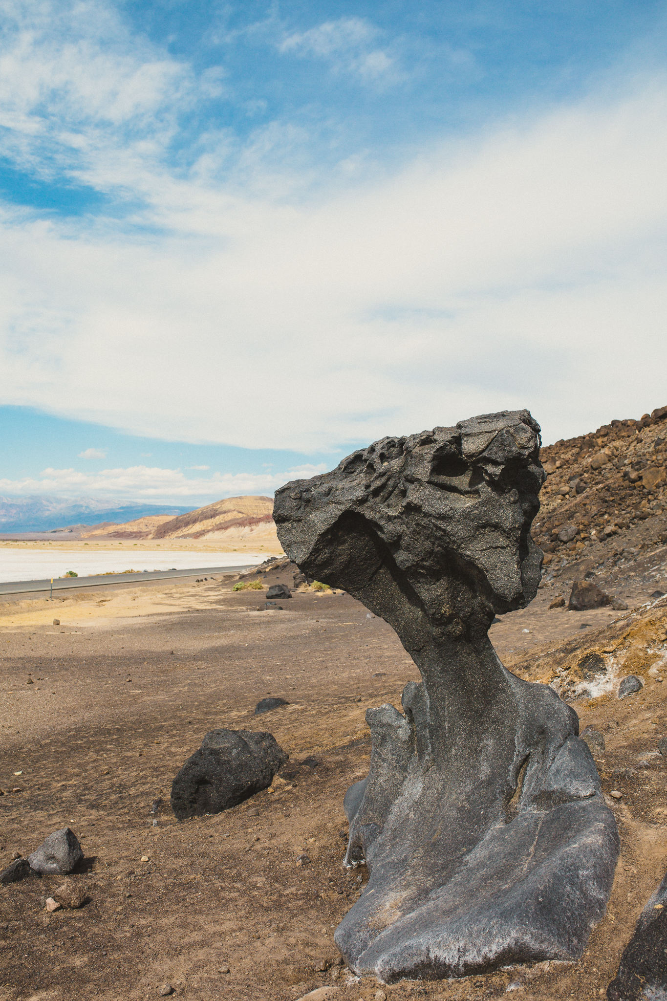
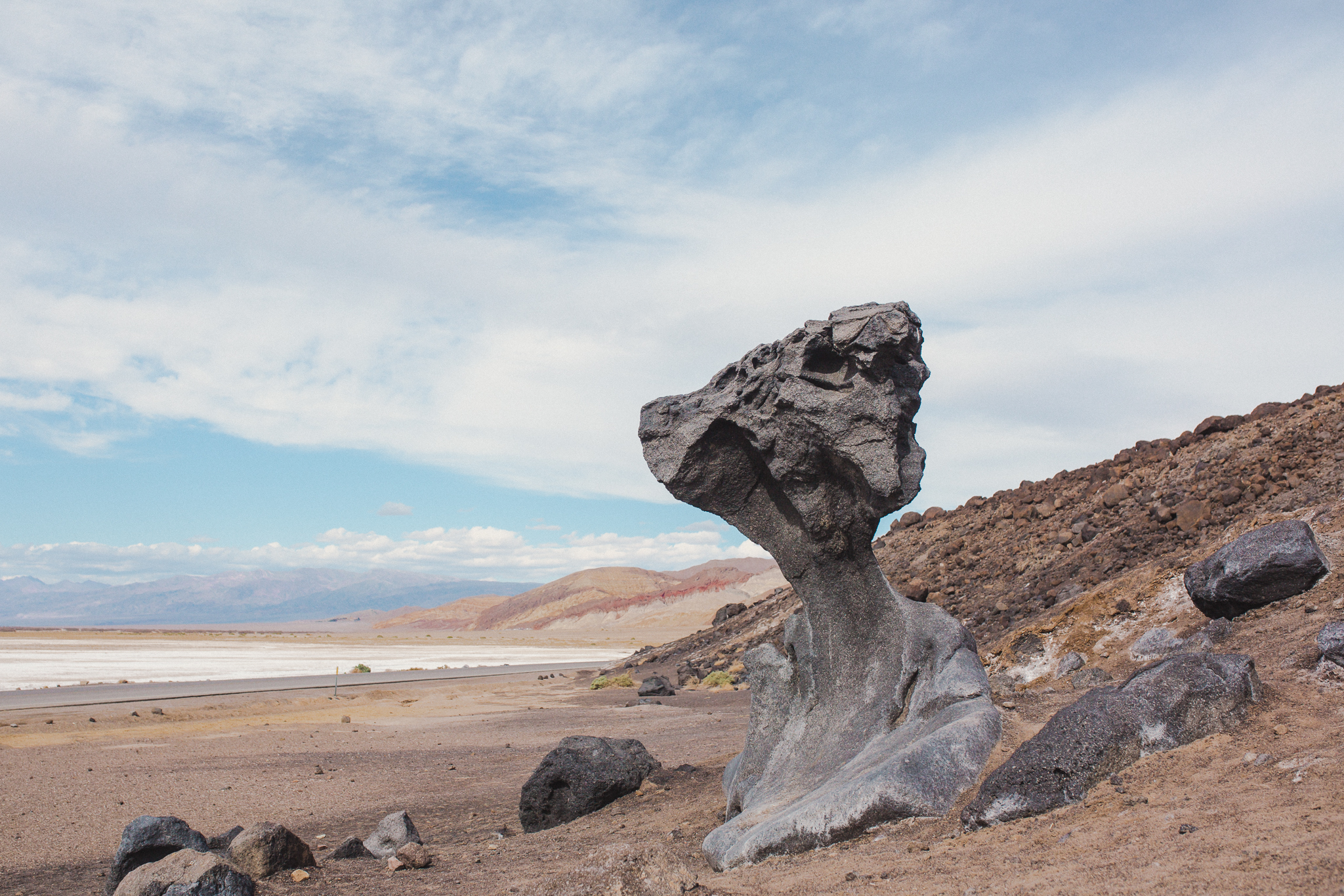
On the way towards Badwater, we noticed a tour bus pulled off by this amazing piece of lava rock. So we kept an eye out on our return trip. We had to be diligent, because it wasn't marked and we would have breezed right past it. Yet it was such a fascinating rock for Ian to see in person. It was taller than all of us, a jutting formation that spoke to the massive geologic history of the valley. I've tried searching online to help learn about the rock, but I'm not having luck. Think of it as a scavenger hunt- look for the giant finger of lava rock beside the road.
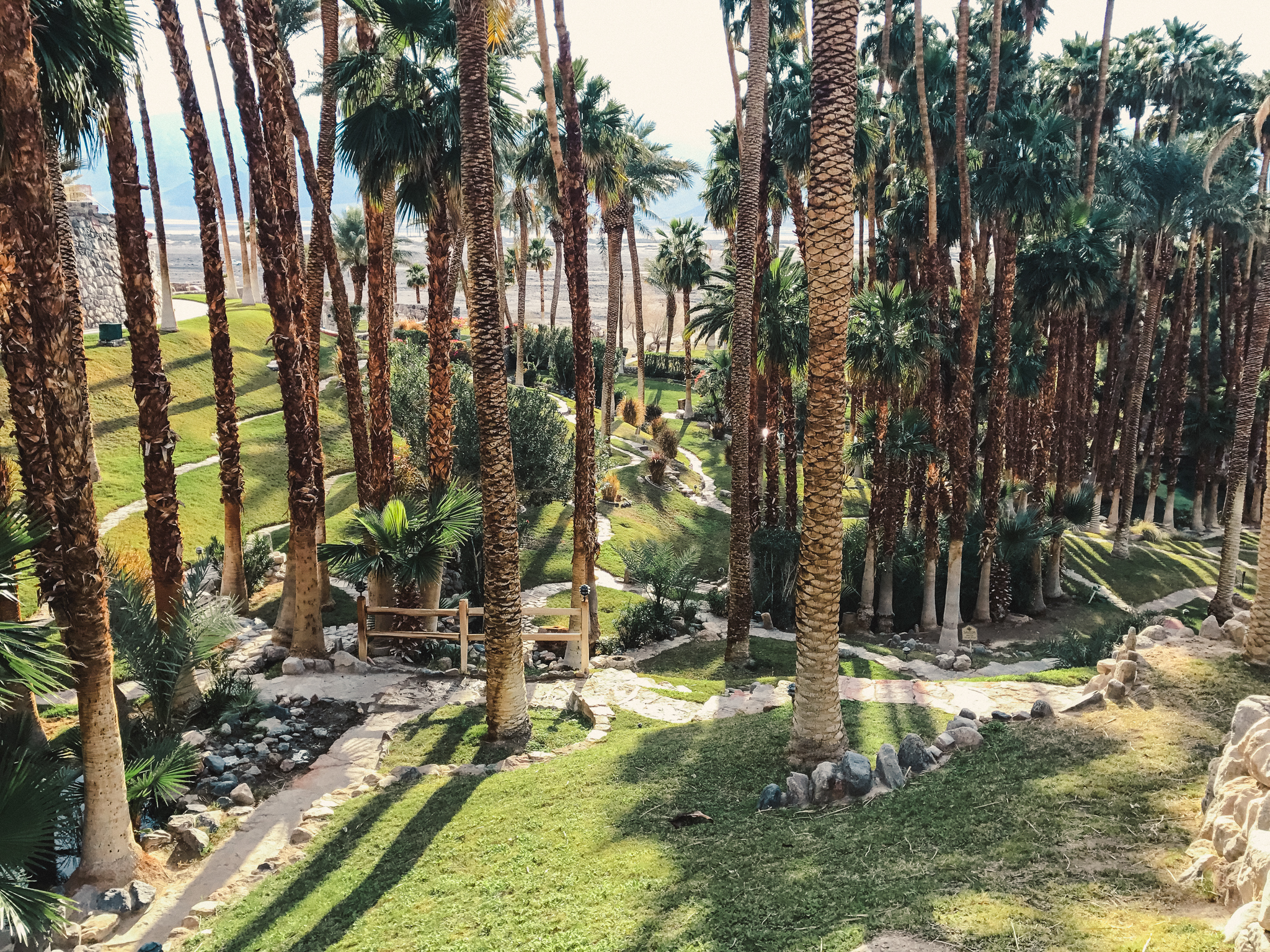
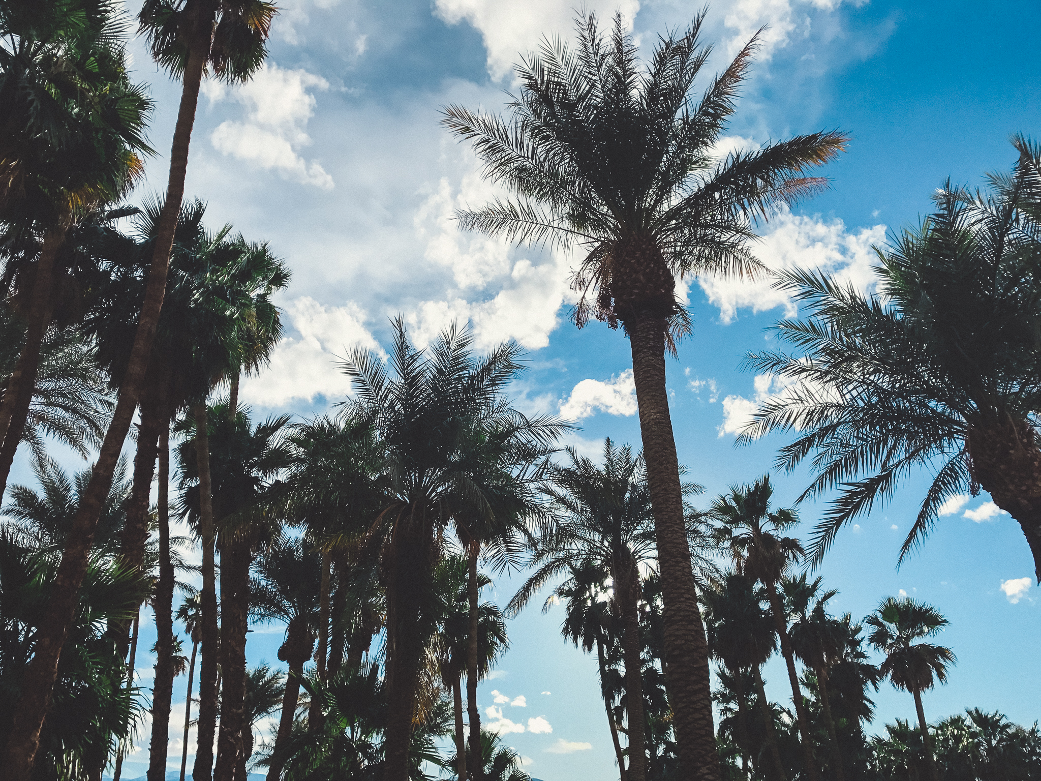
After all the hiking and and rock-clambering, we needed an oasis. We visited the Inn at Furnace Creek just to explore options to stay for next time. The valley has three main option in Furnace Creek. The Inn, the Ranch, and Camping. The Inn is like a castle on the hill overlooking the valley with beautiful views and a swath of sheltering palms. We will check with them about our next opportunity to visit.
The next stop was the Ranch, which is neighbors with the national park campground on the valley floor. I'm going to dedicate a post to the ways to stay in Furnace Creek soon. We learned a lot!
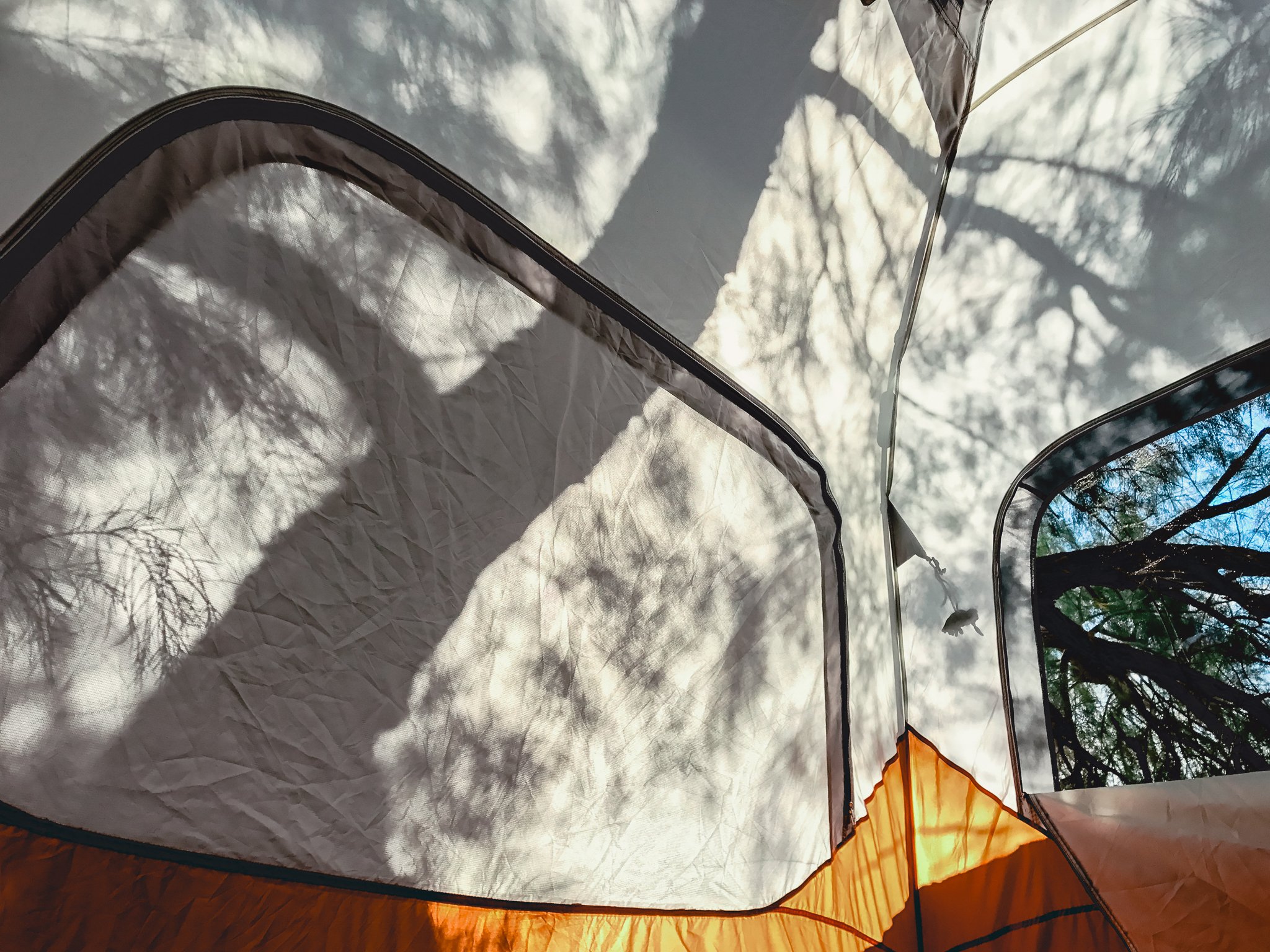
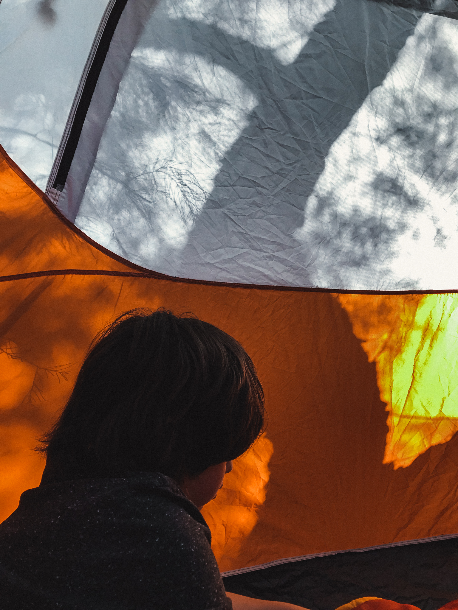
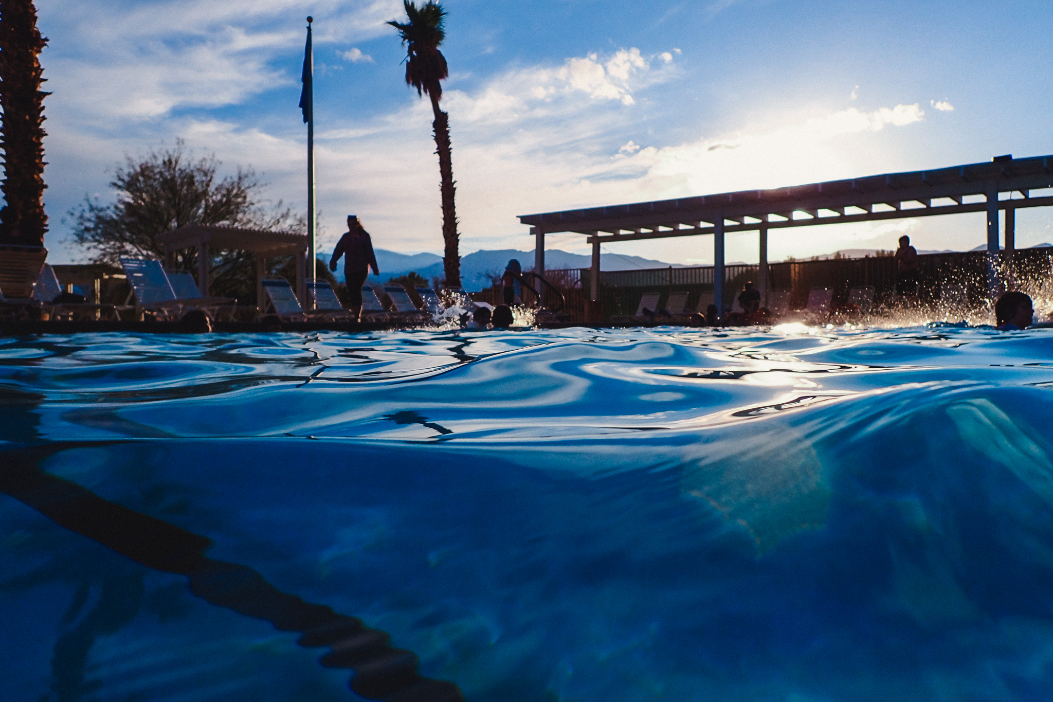
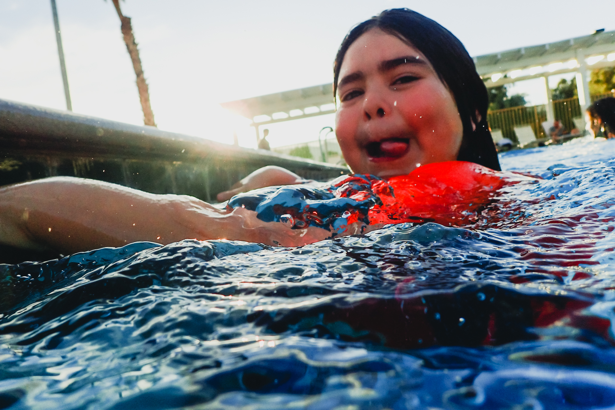
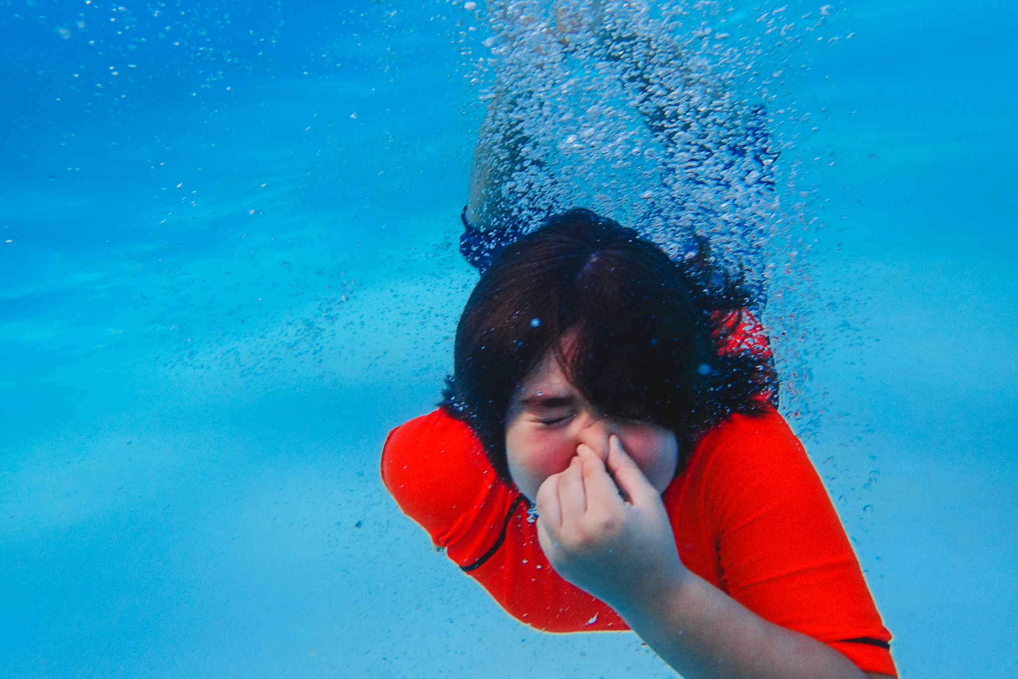
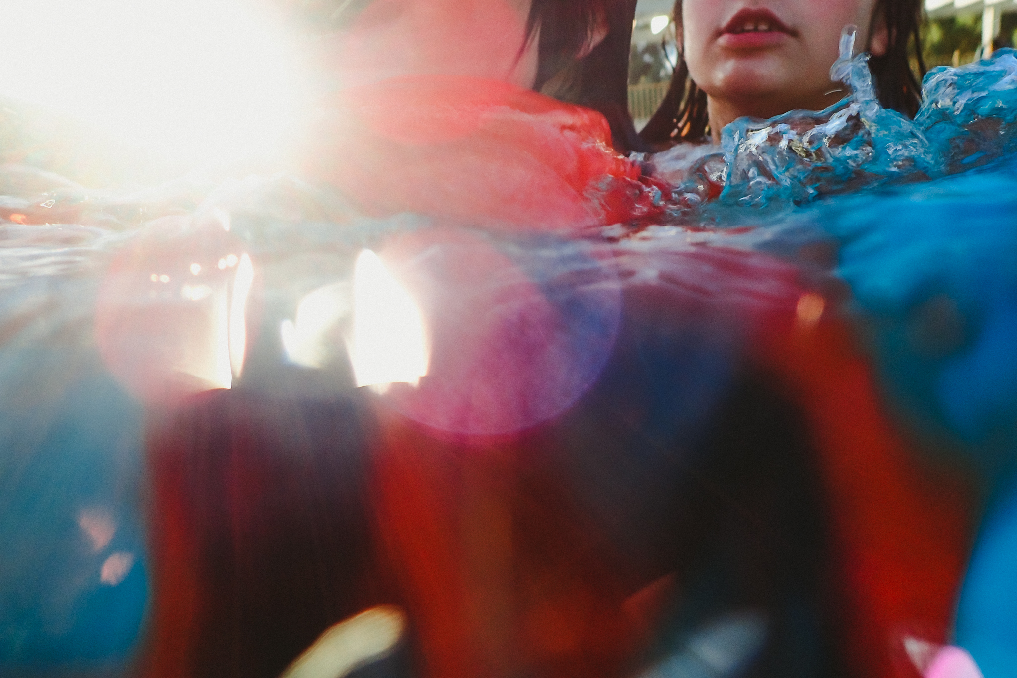
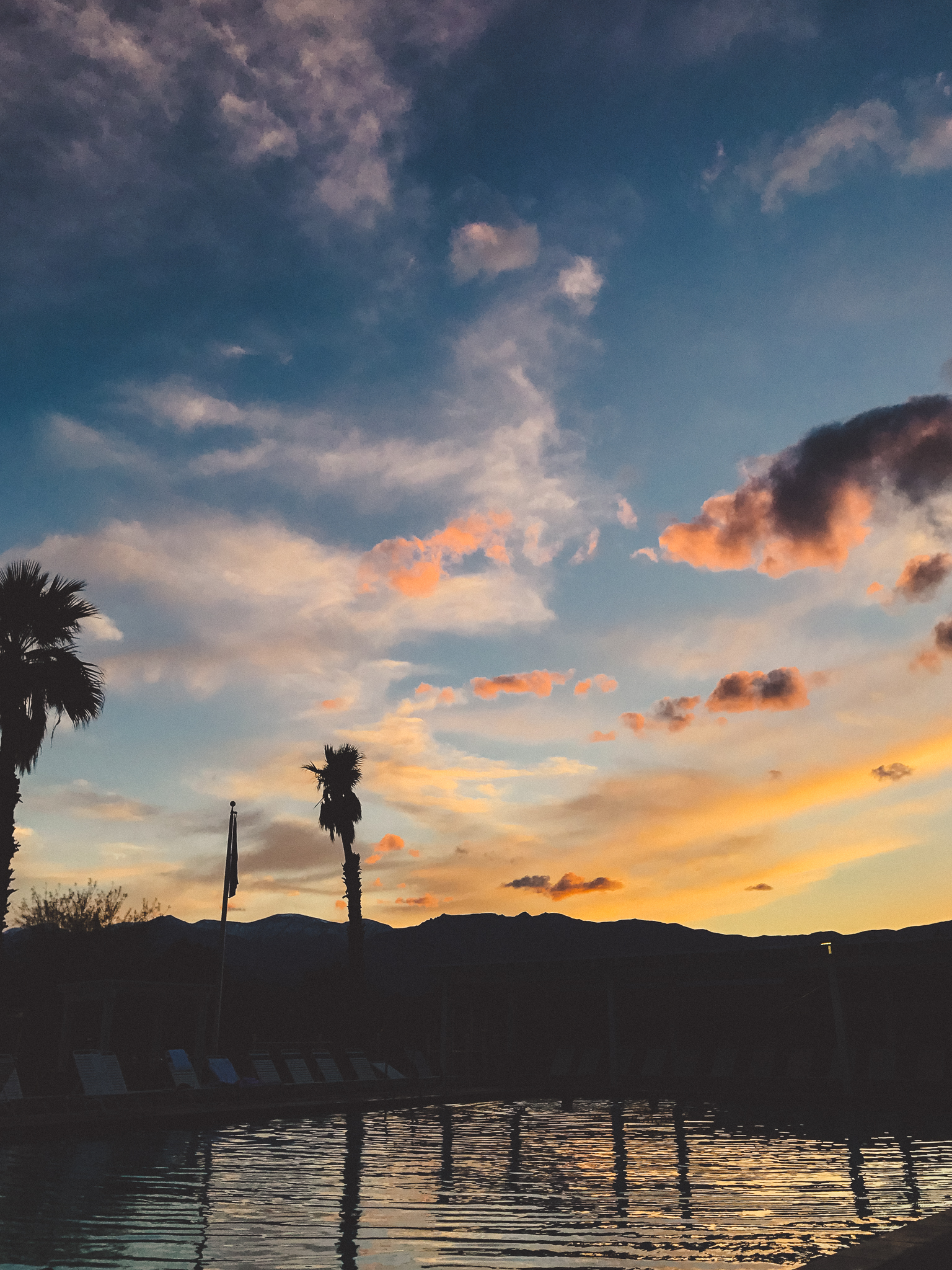
We relaxed at the campsite with a few books and refreshment. We ended the day with swimming at the Ranch at Furnace Creek. For a small fee, we could use the pool, where my daughter met us with her class. The pool is fed by a hot spring, but it's not hot-hot. It's a comfortable 84 degrees or so. Jumping in the water was wonderful, and the sunset was an extra treat

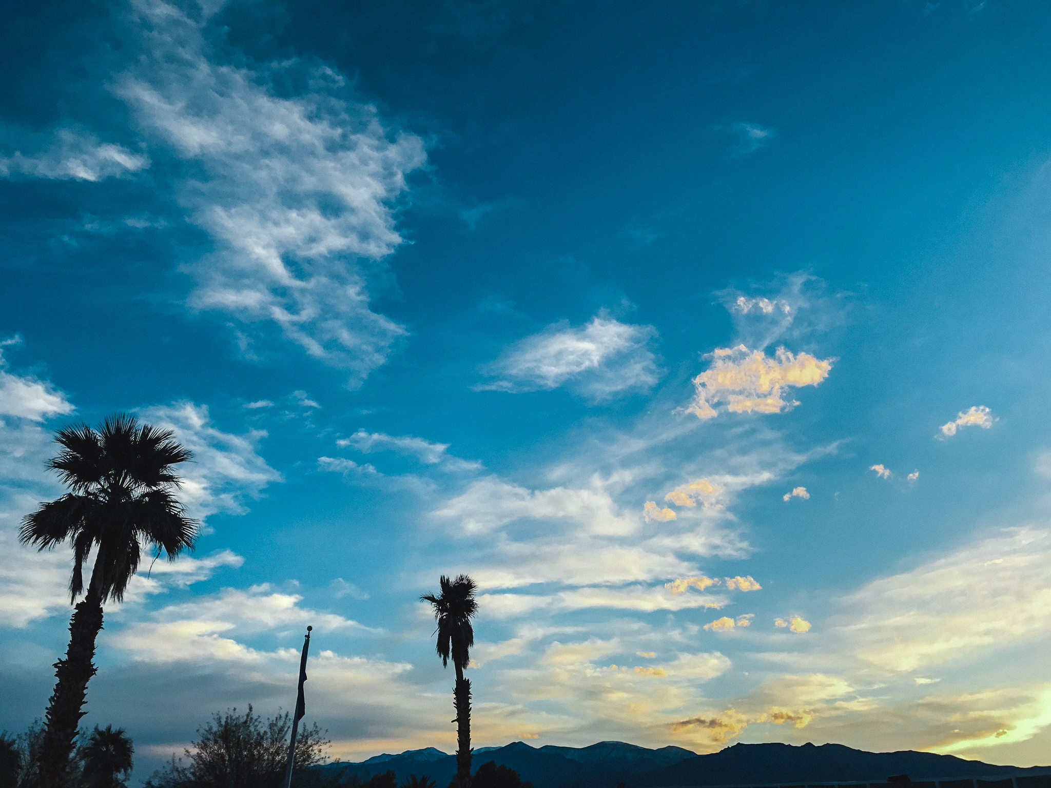
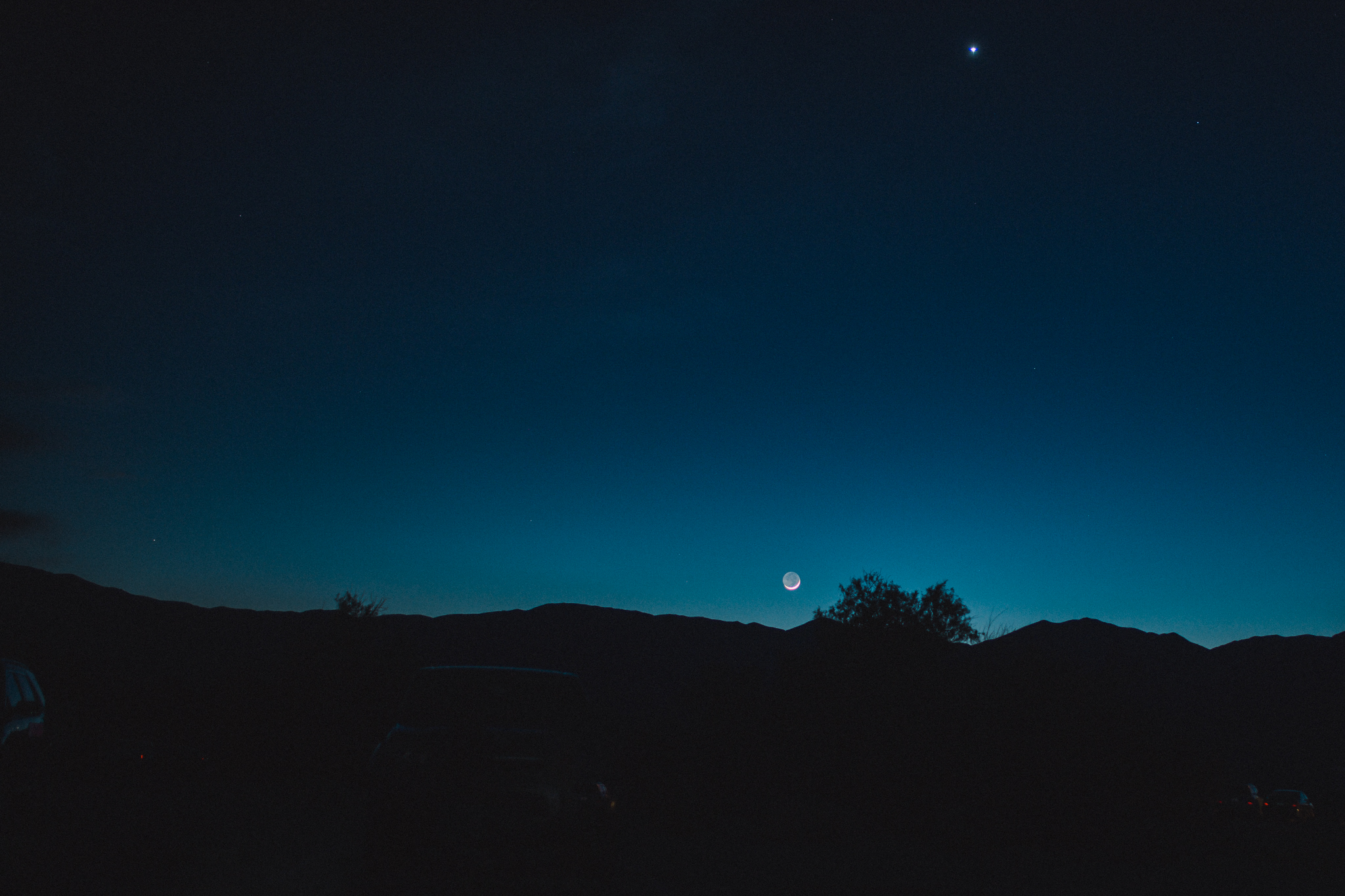
That night, a sliver of a moon rose over the campground into a star-strewn sky. We roasted marshmallows and found constellations.
The next day, adventures on sand dunes!
Gear: Canon Mark iii, Sigma Art Lens 35mm, Olympus Tough TG-4 in the water, and iPhone 7 *disclaimer: This post contains affiliate links, which means I receive a commission if you make a purchase using these links, while your price remains the same. Thank you for supporting our adventures!
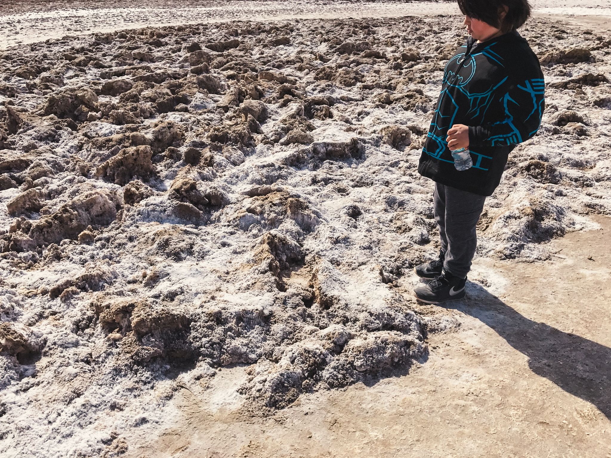
Accessibility Notes: Badwater was a mellow, flat walk. A parking lot right by the road provided enough spots for many visitors. The lot had restrooms. The path was flat (except for boardwalks over the "bad water" part of Badwater. After that leveled to the dried, pressed flat path, walking was easy-going. Everything is farther than it looks! We thought it would be easy to get to an area where people milled about, then turned to see the parking lot quite a ways back. A gathering place out in the flats looked pretty easy to reach. Distances in the desert are so deceiving. We walked comfortably, then turned to see that we had actually gone quite a ways from the parking lot. The return trip became pretty tiring. So maybe set a timer, or use a step tracker, so you don't overtax yourself with going farther than intended. Here's a photo showing how the path looks relative to the rest of the "flats"
As always, bring water, sunscreen, a hat, and a camera (camera optional, but fun!)
Let's go explore!
Before: Natural Bridge and the road trip.